By Francis Songok, Kenya Sugar Board
The sugar sub-sector has long been a vital pillar of the Kenyan economy, particularly in western Kenya. Yet in recent years, sugarcane production has declined, becoming an unpredictable venture for more than 300,000 smallholder farmers cultivating over 240,000 hectares. Despite their dedication, these hardworking producers have struggled to meet the growing demand from both existing and newly established mills.
One key reason for declining yields is poor crop husbandry and soil management practices. For years, many farmers have applied fertilizers with little or no understanding of their soil’s specific nutritional needs. For example, farmers in the Muhoroni area average 64 tonnes per hectare—less than half of the 125 tonnes per hectare achieved by their competitor, HomaLime Company. HomaLime’s success is in part due to its commitment to regular soil testing and informed soil management. By adopting data-driven approaches like timely soil analysis, farmers can enhance crop productivity, improve soil health, and avoid the pitfalls of over-fertilization, which is harmful to both the land and the environment.
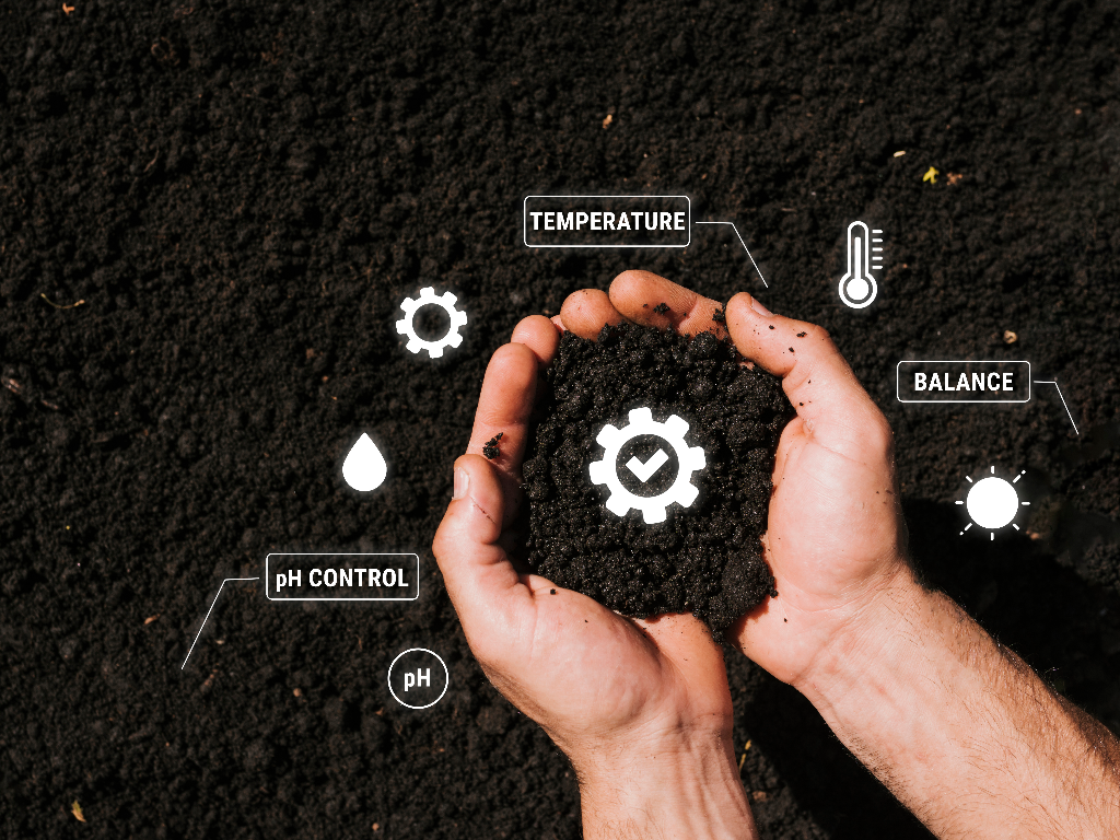
Soil testing and analysis are essential components of modern agriculture. They help optimize crop production, maintain a balanced soil nutrient profile, and protect the environment from the negative impacts of excessive fertilizer use. Achieving this on a broad scale requires a multi-sectoral approach—one that supports subsidized and efficient soil testing services to drive higher yields and profitability for farmers.
Technological advances, especially in GIS systems and remote sensing, are game-changers for soil management. These tools can collect, manage, and analyze geographical and soil data at scale. Today, soil fertility maps generated from such technologies can pinpoint soil quality indicators like pH, organic matter, and nutrient levels (N, P, K, and others), as well as spatial variations across farms. Farmers can use these insights to make targeted fertilizer purchases and applications, improving productivity while reducing waste and environmental impact.
As smart farming becomes the new standard, precision and technology are no longer optional. Satellite-based soil monitoring and analysis services are transforming agriculture by enabling all sector players to make informed, timely decisions—maximizing the use of farm inputs, boosting overall crop yields, and supporting long-term sustainability in sugarcane farming.
Looking ahead, SugarVista—an innovation of the Kenya Sugar Board—will bring all these remote sensing services together into one integrated platform. This digital hub will allow farmers to access real-time data and interact with connected devices from their mobile phones, streamlining the process of monitoring, managing, and collecting vital information from the field.