By Sheela Tumaini, Kenya Sugar Board
Introduction
The sugar industry is undergoing a quiet revolution, both globally and in Kenya. Like many other sectors, it is being transformed by technological and digital advancements. Once dominated by manual labor, the industry is now embracing digitalization—with Geographic Information System (GIS) sensing emerging as one of the most promising technologies.
In simple terms, GIS sensing is software that processes, analyzes, and visualizes data collected from remote sensing (RS) technology, which uses satellites to gather information about the Earth’s surface. The Global Positioning System (GPS) is another essential tool, providing precise location and time data worldwide. These technologies are highly interconnected, but GIS stands out as the platform that brings it all together, allowing users to visualize and make sense of the data—making it the focal point of this discussion.
Globally, GIS has become vital in precision agriculture, supporting crop management, monitoring soil and weather conditions, and enabling better planning for inputs, land use, and harvesting. In Kenya, some sugar mills have started implementing elements of GIS to map their out-grower regions and contracts, showing the strong potential for broader adoption across the industry.
Incorporating GIS Sensing into the Kenyan Sugar Industry
1. Land Planning and Resource Projections
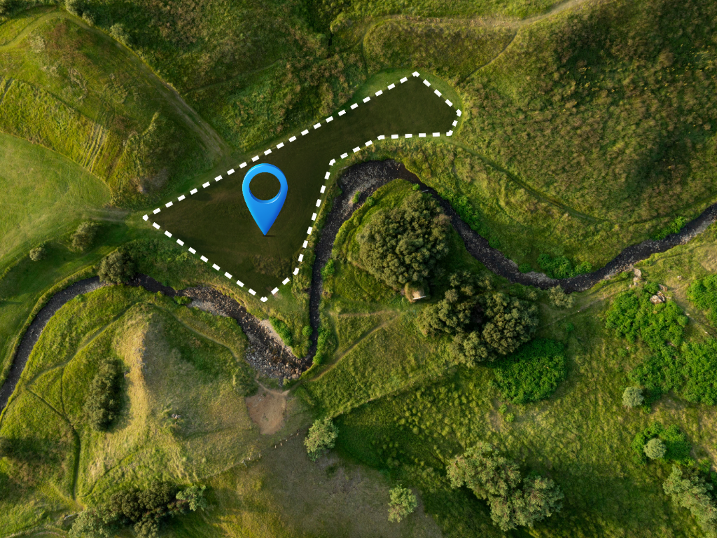
By adopting GIS, stakeholders in Kenya’s sugar industry can identify optimal planting areas and accurately assess available acreage. This facilitates more effective planning for seedlings, fertilizers, irrigation, and labor before planting begins. For example, the Sudanese government has successfully implemented GIS, GPS, and RS technologies for land pre-planning, resulting in more effective resource allocation.
2. Crop Management and Cane Census
Currently, crop management and cane census activities in Kenya are mostly manual, which can introduce inaccuracies and inefficiencies. GIS can help by tagging sugarcane fields based on:
-
Region and farm owner
-
Cane maturity
-
Variety planted
-
Estimated yield
-
Acreage covered
With the addition of RS and GPS technologies, stakeholders can:
-
Map farms in real time
-
Identify pest and disease outbreaks for precision interventions
-
Monitor and manage drought more effectively
Countries like Sudan and Brazil have leveraged GIS to accurately assess and map their sugarcane regions, resulting in improved planning and resource allocation.
3. Strategic Harvest Planning
Harvesting is often the most resource-intensive phase of the sugarcane value chain. GIS can greatly improve harvest planning by:
-
Tracking cane maturity across regions, using business intelligence dashboards for timely alerts and reminders to prevent losses from over-mature or underutilized cane.
-
Facilitating effective allocation of resources, including manual labor (harvesters, loaders, drivers) and equipment (trucks, fuel, harvesting machinery). This enables data-driven projections of resource requirements, helping factories plan ahead with greater accuracy.
4. Smart Contracts
GIS data can also be integrated into blockchain-based smart contracts. These can link specific land parcels to the contracts farmers sign with mills, ensuring that cane is delivered to the correct factory upon maturity. This transparency helps combat cane poaching—a persistent challenge in the industry—and reduces disputes and manipulation between farmers and millers.
The Kenya Sugar Board is currently developing a platform to address this need, representing a timely and critical step for the sugar sector.
Key Challenges and Opportunities
Challenges:
-
High initial costs for technology and hardware
-
Insufficient digital literacy among some stakeholders
-
Potential concerns regarding data protection and privacy
Opportunities:
-
The Kenyan government, through the Kenya Sugar Board, can benchmark against countries with proven results, ensuring smart implementation in Kenya.
-
Investing in digital infrastructure, providing training, and encouraging partnerships with mills and private institutions will be key to achieving sustainable growth in the industry.
With the right vision and investment, GIS sensing and related technologies can help unlock Kenya’s sugar sector’s full potential, making it more productive, efficient, and globally competitive.